
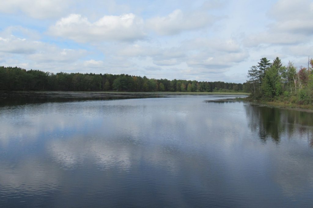
BLACK LAKE, Mich., June 24 — Tom and Diane Peterman tried to buy flood insurance when they moved to their retirement home on the shores of Black Lake 14 years ago. They were told it wasn’t available. John Solum was told his family wasn’t in a flood zone when they bought a 1940s-era cabin there.
Then came this spring’s historic and devastating floods across northern Michigan. In some areas, for the first time anyone can remember, the waters swamped homes, pushed dams to the brink of failure and washed out roadways.
Dozens of counties were under a state of emergency. Black Lake was so high that floating ice broke apart decks and crashed through windows. “We’ve never seen anything like that.
Never,” said Solum, who experienced flooding often when he lived in Houston. For Solum and his family, knee-high floodwater forced them to tear out flooring, drywall, furniture, bedding and appliances.
Across Michigan, thousands were left without financial protection after record April rains fell on top of record March snowfall. Worse, many had no idea they were at risk despite years of increasingly heavy precipitation. Their experience exposes vulnerabilities across the country, experts say, because flood plain maps don’t cover all areas.
What’s more, the federal government’s mapping method is arguably outdated and does not account for actual risks as climate change increases the odds of more extreme weather. The Federal Emergency Management Agency develops and updates maps that determine who’s in a flood plain and must buy insurance, and to help communities plan. But FEMA hasn’t developed maps in many less-populated areas, including some Michigan counties that experienced unprecedented flooding.
Black Lake, for example, straddles two counties — Cheboygan, which has a 2012 FEMA flood plain map, and Presque Isle, where most areas have never been mapped. The human side of this story is what stays with you.
The Petermans did everything right. They tried to buy protection before disaster struck. They were simply told no. For families who have lived on these lakes for generations, the idea that the water would ever rise this high was unthinkable.
Until it happened. What this means for residents across northern Michigan is a long, uncertain road to recovery.
Without insurance, families are left to cover the cost of ripped-out drywall, ruined appliances and destroyed furniture out of their own pockets. Some may not have the means to rebuild at all. Behind the bureaucratic gap in flood plain mapping is a very real human cost.
The maps that are supposed to guide homeowners and communities simply don’t exist in many rural areas. And even where they do exist, as in Cheboygan County, a map from 2012 may not reflect the reality of today’s weather patterns. For now, the immediate focus is on cleanup and recovery.
But the broader question remains: how many other communities across the country are living with the same false sense of security, believing they are safe simply because no one has told them otherwise?